Land Surveying
In land surveying, drones swiftly gather precise, geo-tagged data. Specialized photogrammetry software then processes this information to produce standardized outputs, enhancing efficiency and accuracy in mapping and measurement processes.
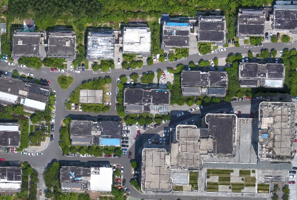
Urban Planning
Drones help urban planners by making precise 2D and 3D models that easily fit into local maps. This aids teams in visualizing outcomes, making urban planning more accurate and accessible.
Architecture, Engineering, and Construction (AEC)
Drones help in construction by doing detailed surveys. They provide precise information for designing and building. This helps throughout the construction process, making it easier to plan and deliver projects accurately.
Natural Resource Management
Drones help study nature by doing big, close-up surveys. They make accurate maps and models, plus use telemetry to collect data. This helps manage natural resources better, like plants and animals.