Urban Planning
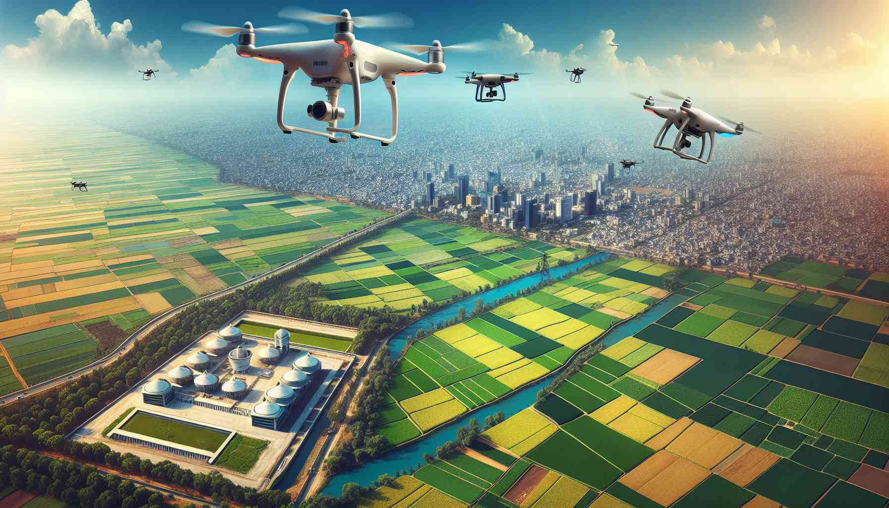
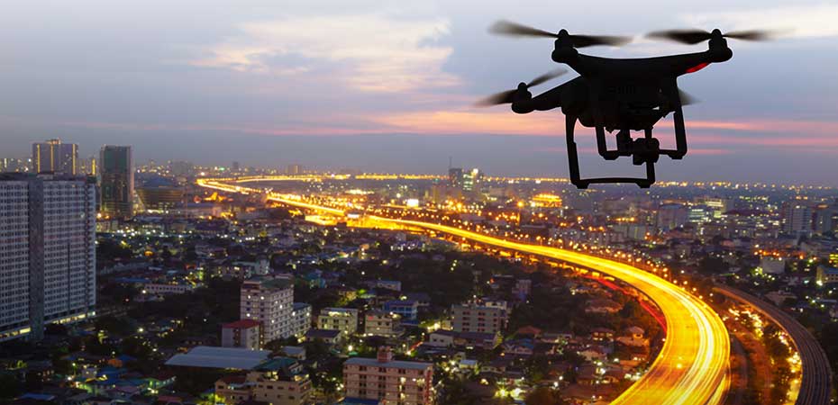
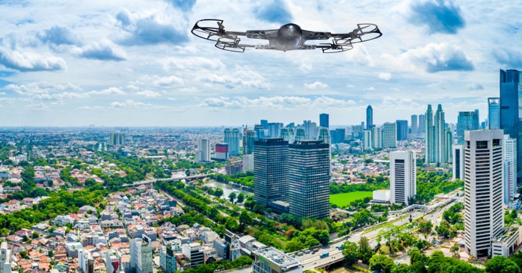
Drones facilitate urban planning by capturing high-resolution aerial imagery, enabling detailed mapping and analysis of infrastructure, land use, and environmental factors.
Benefits Of Urban Planning
Helps the Cities to Grow
Due to more work opportunity, better education facility, and many other reasons, the population in the cities of developing countries is increasing more and more. In order to accommodate a large population, there have to be some early plans. That’s why authorities should always make proper planning. Thus, the city will grow rapidly without having negative impacts on its economy and citizens.
Improves Quality of Life
Quality of life is the major concern of every human being when they move to a city. The other two issues are employment and accommodation. Though the cost of living is higher, the opportunities are also great. To make it easier, the city manager must have rules and regulations for the proper distribution of land, public spaces, and the infrastructures. All these measures are ultimately improving the quality of life of the people.
Predict Disasters
Global warming has created some major issues for our planet and the inhabitants. Having an early idea of natural calamities has become very important for those who do city management. They are trying to have the prediction of all such calamities to make long-term strategies and later achieve them by making short-term actions. They keep the citizens as well as the visitors safe from all possible disasters that the world is facing today.
Using Drones
Challenges
- Regulatory Compliance: Navigating complex and evolving regulations for drone usage in urban areas poses challenges, requiring adherence to airspace restrictions and permissions.
- Data Integration: Integrating diverse datasets from drone surveys into existing urban planning systems can be complex, requiring compatibility and seamless integration with Geographic Information Systems (GIS) and other planning tools.
- Privacy Concerns: Addressing public and privacy concerns related to drone surveillance in densely populated urban environments requires careful consideration and communication.
- Limited Flight Time: Drones have restricted flight times due to battery limitations, necessitating careful planning and coordination for comprehensive urban surveys.
- Obstacle Avoidance: Urban environments with high-rise buildings and complex structures pose challenges for drone navigation and obstacle avoidance, requiring advanced technology to ensure safe operations.
- Data Security: Protecting sensitive urban planning data captured by drones from unauthorized access and cyber threats is crucial for maintaining the integrity and confidentiality of information.
- Public Perception: Overcoming potential resistance or skepticism from the public regarding the use of drones in urban planning requires effective communication and community engagement.
- Weather Dependence: Adverse weather conditions, such as strong winds or precipitation, can disrupt drone operations and affect the quality of data collected for urban planning purposes.
How Works
- Planning and Objective Definition:Identify the goals and objectives of the urban planning project, specifying the areas to be surveyed and the type of data required for decision-making.
- Drone Selection and Sensor Configuration: Choose an appropriate drone based on the project’s requirements, considering factors such as flight time, payload capacity, and sensor capabilities. Configure sensors like high-resolution cameras, LiDAR, or thermal imaging, depending on the specific data needed for urban planning analysis.
- Mission Planning:Utilize specialized software to plan the drone’s flight path, optimizing coverage, overlap, and altitude for data accuracy. Consider urban features, such as buildings and infrastructure, when creating the flight plan to ensure comprehensive data capture.
- Regulatory Compliance: Obtain necessary permits and approvals from relevant aviation authorities to comply with drone usage regulations in urban areas. Adhere to local, regional, and national regulations to ensure safe and legal drone operations.
- Pre-flight Checks: Conduct thorough pre-flight checks to ensure the drone and sensors are in optimal working condition. Verify that weather conditions are suitable for safe and effective drone operations.
Data Capture:
Launch the drone and execute the pre-planned flight path to capture high-resolution images, LiDAR data, or other relevant information. Monitor the drone in real-time to address any issues and ensure data collection follows the planned trajectory.
Explore More Content
Urban planning, a multidisciplinary field at the intersection of architecture, economics, and environmental science, plays a pivotal role in shaping the development of cities and ensuring their sustainability. Drones have emerged as valuable tools in modern urban planning, offering innovative solutions to traditional challenges.
Challenges in urban planning using drones include regulatory compliance, privacy concerns, and the need for seamless data integration. Navigating airspace regulations and addressing public apprehensions about privacy require careful planning and communication.
Using drones in urban planning involves the deployment of unmanned aerial vehicles equipped with advanced sensors. These sensors, such as high-resolution cameras, LiDAR, and thermal imaging, capture detailed aerial imagery and geospatial data over designated urban areas.
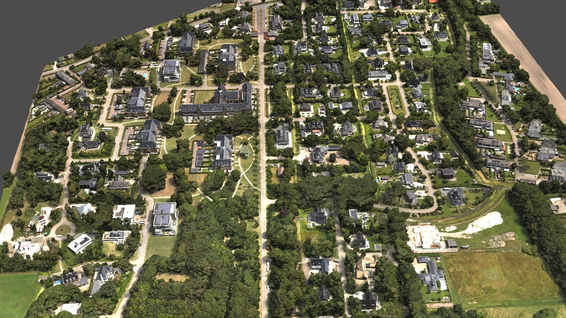
One of the key advantages of drones in urban planning is the efficiency and speed with which they can survey large and complex urban landscapes. Drones cover expansive areas in a fraction of the time compared to traditional methods, providing planners with up-to-date and comprehensive datasets.