Natural Resource Management
Natural resource management involves the sustainable utilization, conservation, and equitable distribution of Earth’s resources, addressing environmental challenges and promoting long-term ecological balance for the benefit of both present and future generations.
Benefits Of Natural Resource Management
Improved Accessibility
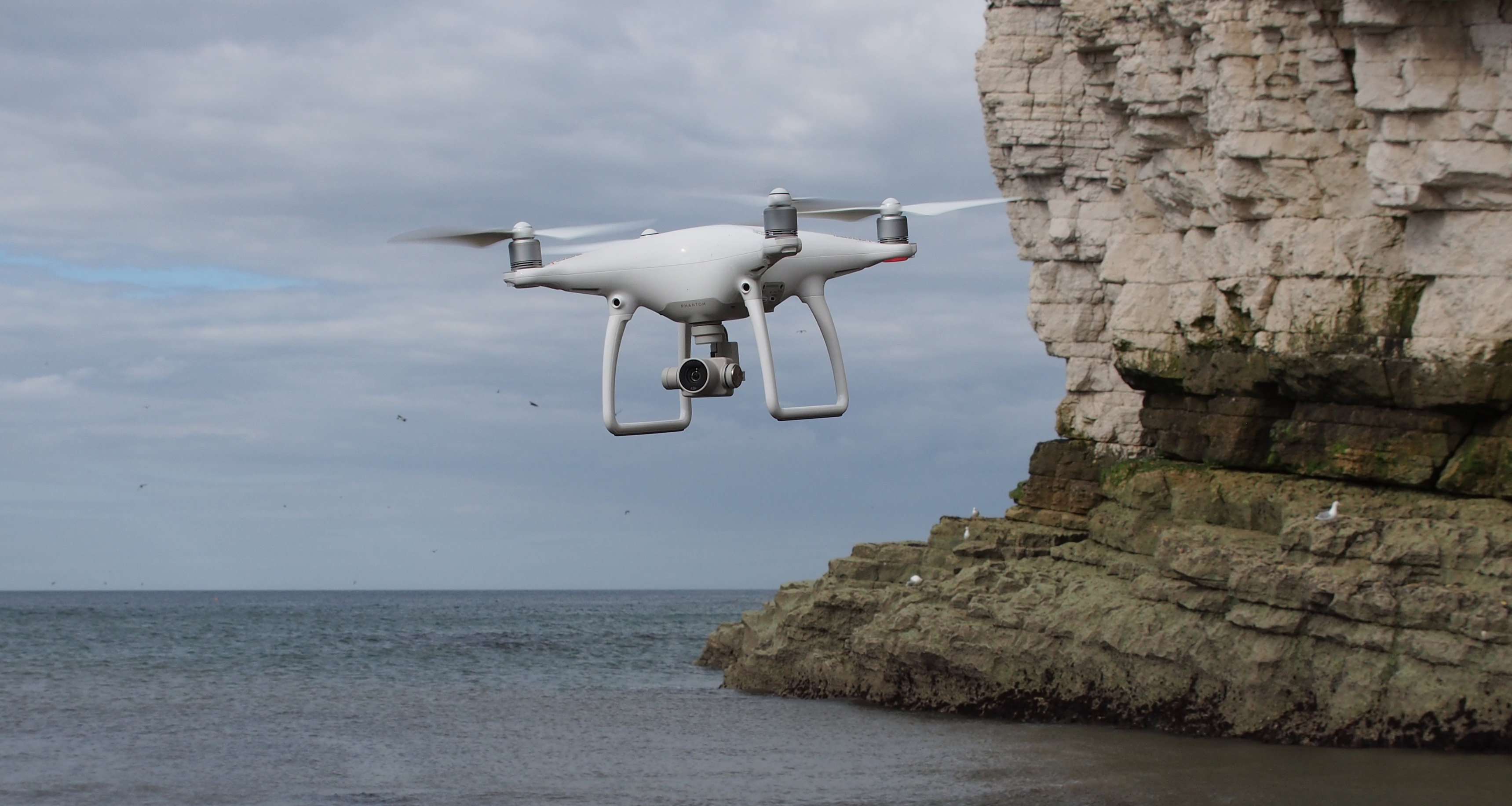
Drones can access remote or difficult-to-reach areas, allowing for the survey and monitoring of natural resources in locations that may be challenging for ground-based methods. This accessibility is particularly beneficial in rugged terrains or areas with limited infrastructure.
Cost-Effective Operations
Drones offer a cost-effective alternative to traditional surveying methods, reducing the need for large teams and expensive equipment. The operational costs associated with data collection and monitoring can be significantly lower when using drones.
Efficient Surveying
Drones can cover large areas quickly and efficiently, reducing the time and resources required for traditional ground-based surveys. Rapid data collection allows for timely decision-making and intervention in resource management.
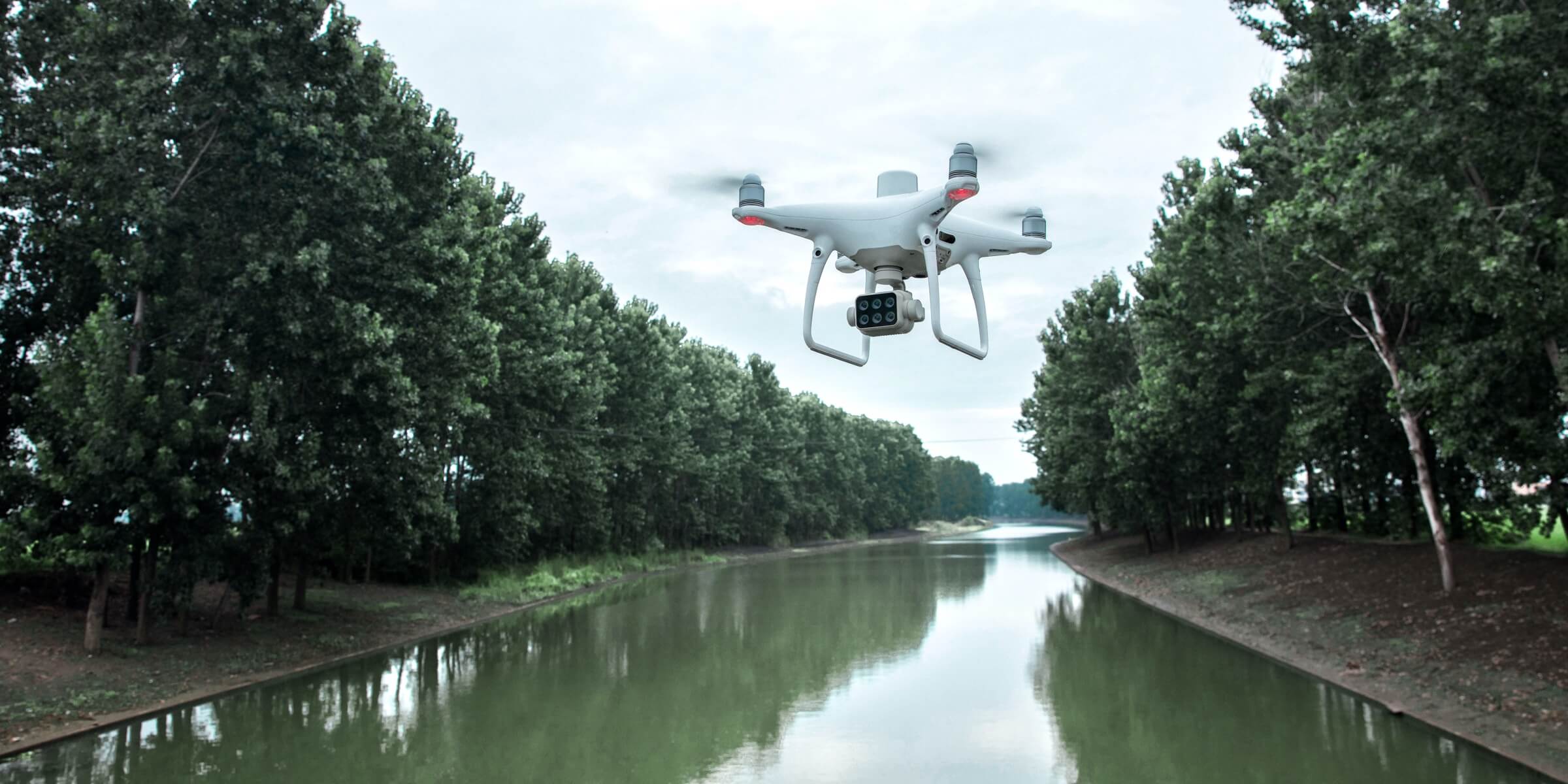
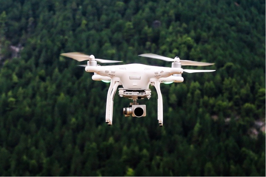
Using Drones
Challenges
- Data Accuracy and Resolution:Achieving precise data accuracy and resolution in diverse natural environments using drones can be challenging, impacting the reliability of resource assessments and management decisions.
- Vegetation Penetration and Coverage:Dense vegetation can obstruct drone sensors, limiting their ability to capture comprehensive data on forest health, biodiversity, and other critical ecological factors, especially in complex ecosystems.
Terrain and Topography:
Managing natural resources often involves varied and challenging terrains. Drones may face difficulties in accurately surveying rugged landscapes, such as mountains or steep slopes, affecting the reliability of topographical data..- Weather Dependence: Adverse weather conditions, including strong winds, rain, or extreme temperatures, can disrupt drone operations, impacting the frequency and timing of data collection for natural resource management.
- Data Processing Complexity: Handling large datasets generated by drones, especially when using high-resolution sensors, poses challenges in terms of storage, processing, and analysis, requiring specialized software and expertise.
- Regulatory Compliance: Navigating and complying with evolving regulations related to drone usage in natural resource management can be complex, requiring continual monitoring and adaptation to legal frameworks.
- Remote Area Access: Accessing remote or inaccessible areas for resource monitoring can be challenging, limiting the reach of drones and requiring alternative methods for comprehensive data collection.
How Works
- Mission Planning: Define the objectives of the natural resource management project, specifying the type of data needed and the areas to be surveyed. Plan the drone’s flight path using specialized software, considering factors such as terrain, vegetation, andregulatory constraints.
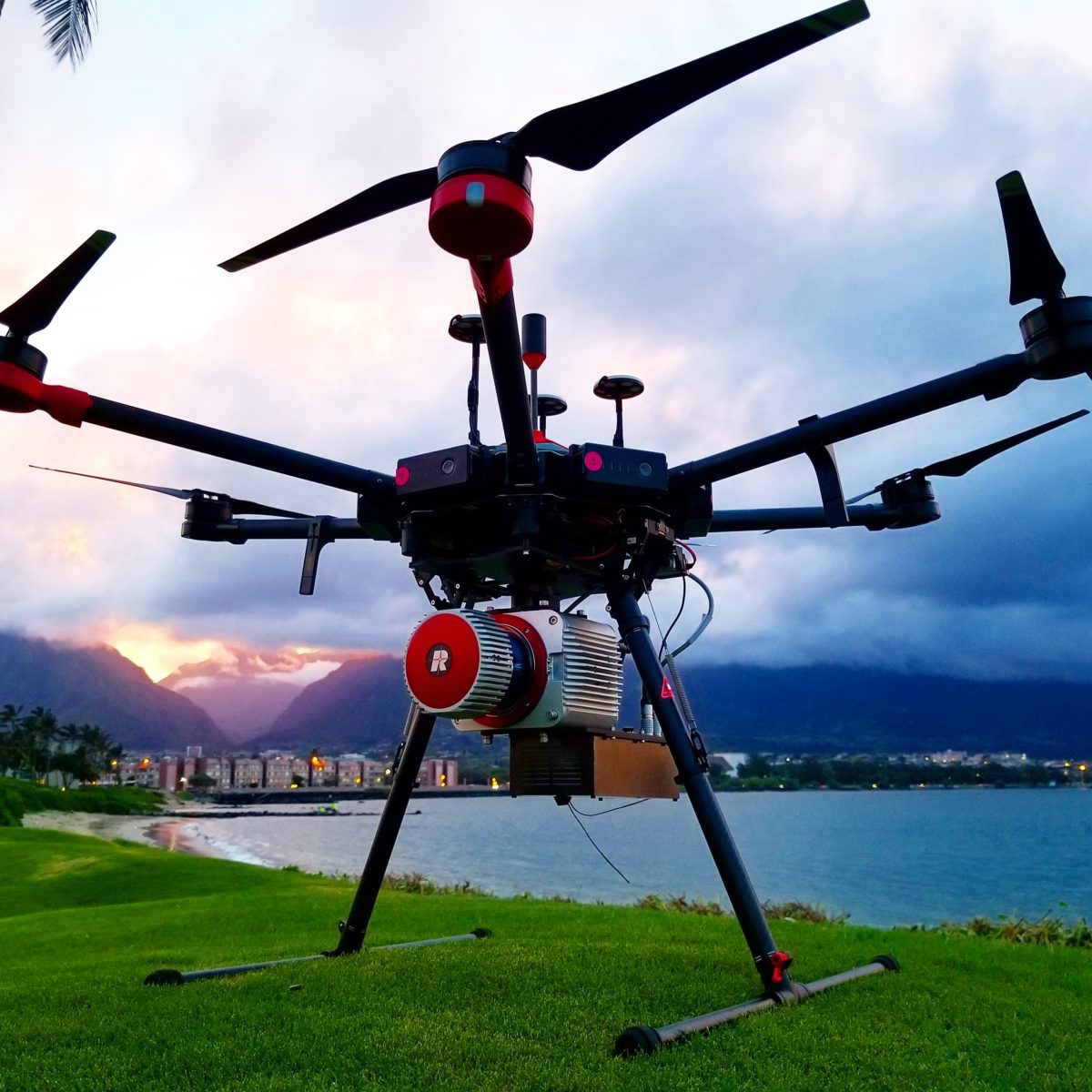
Sensor Selection and Payload Configuration:
Choose sensors appropriate for the project goals, such as multispectral or hyperspectral cameras for vegetation analysis, LiDAR for topographical mapping, or thermal cameras for ecosystem health assessments. Configure the drone’s payload with selected sensors, ensuring compatibility and optimal data collection capabilities.- Real-time Monitoring: Conduct thorough pre-flight inspections to ensure the drone is in proper working condition. Verify that all sensors are calibrated correctly for accurate data collection.
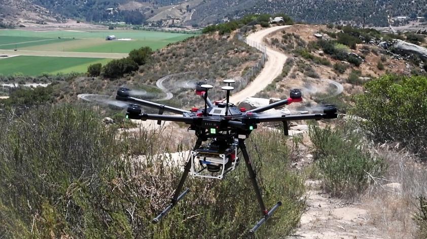
- Launch and Data Collection:Deploy the drone to follow the predefined flight path, capturing data during the mission.Sensors collect information on vegetation health, land cover, topography, water quality, or other relevant parameters depending on the project’s focus.
- Real-time Monitoring: Monitor the drone’s flight in real-time to ensure it follows the planned trajectory and to address any issues promptly. Adjust the flight path if needed to ensure comprehensive coverage and data quality.
- Data Processing: Transfer the collected data to a computer for post-processing. Use specialized software to process and analyze the data, generating accurate maps, 3D models, or other visualizations.
Explore More Content
Natural resource management utilizing drones represents a cutting-edge approach to monitor and sustainably utilize Earth’s diverse ecosystems. The process begins with meticulous mission planning, where project objectives are defined, and flight paths are intricately designed using specialized software.
The selection of sensors and payload configuration is the next critical step. Drones are equipped with a variety of sensors, such as multispectral cameras for vegetation analysis or LiDAR for topographical mapping, tailored to the specific goals of the natural resource management project.
Pre-flight checks are conducted to confirm the drone’s readiness, and once deployed, the drone follows its predetermined flight path, capturing data in real-time. This data encompasses a wide range of environmental parameters, including vegetation health, land cover, water quality, and topography.
Post-flight, the collected data undergoes thorough processing using specialized software. This involves stitching together images, correcting distortions, and transforming raw sensor data into comprehensive visualizations, such as accurate maps and 3D models.