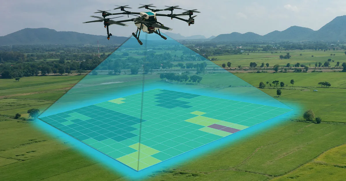
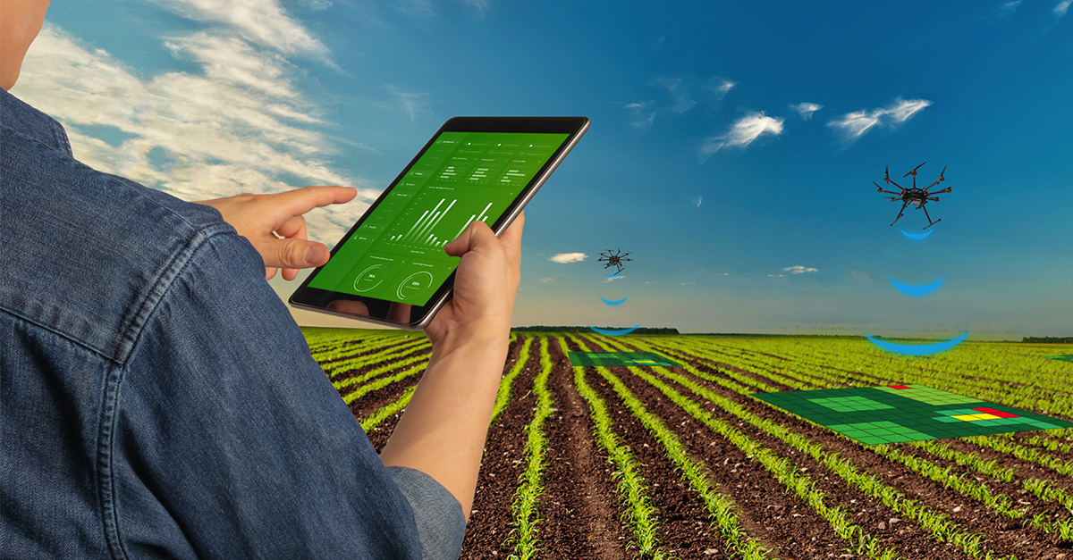
Crops Mapping
Drones can capture high-resolution images and data of the crops, and provide information on crop health, growth, and yield. This can help farmers to identify issues early, and take corrective measures accordingly. Drones can also provide data on soil quality, moisture, and nutrient levels, and help farmers to optimize their inputs and outputs.
Soil Analysis
Soil analysis with drones involves flying unmanned aircraft equipped with sensors over fields to gather data on soil health. This technology helps farmers make informed decisions about crop management, optimizing yields sustainably.
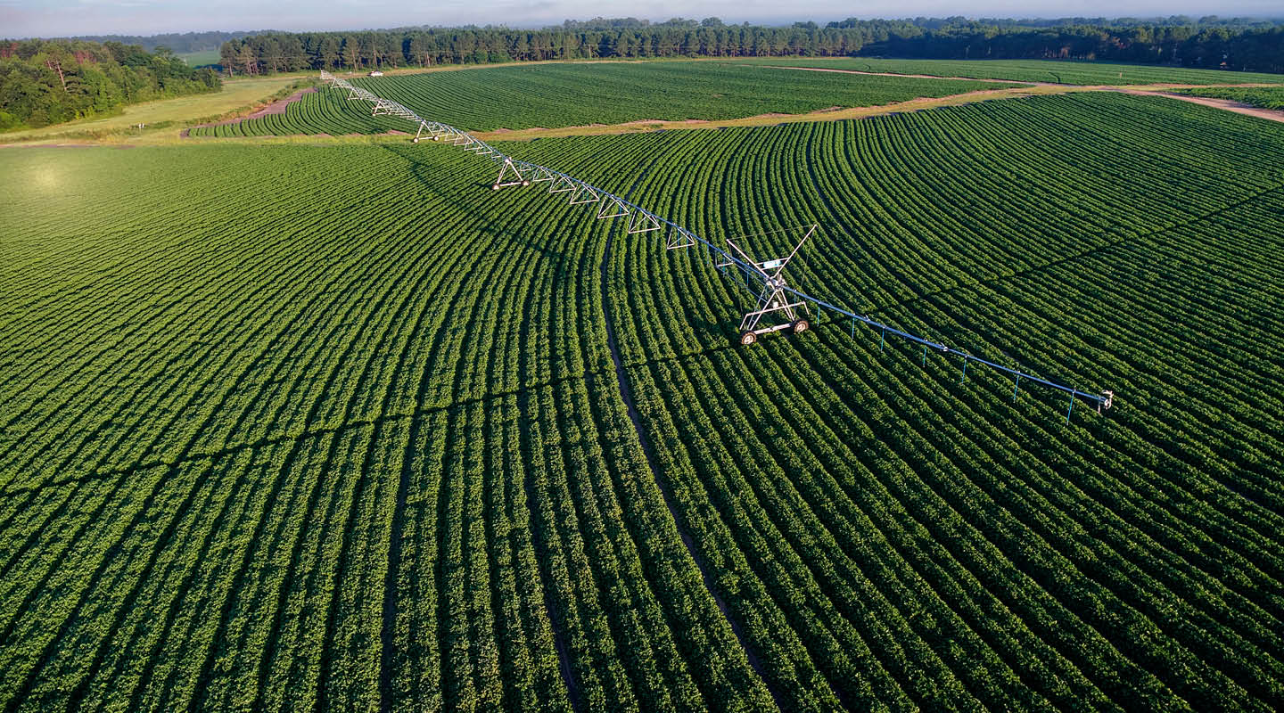
Irrigation
Drones enhance irrigation by monitoring crops from above, analyzing soil moisture levels, and optimizing water distribution. This technology ensures efficient water usage, promotes crop health, and boosts overall agricultural productivity.
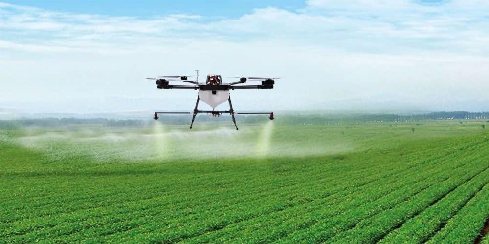
Pest Management
Drones aid pest management by surveying fields, spotting infestations, and delivering targeted treatments. Efficient and precise, they reduce pesticide usage, saving costs and minimizing environmental impact while safeguarding crops.