Soil Analysis
Drones equipped with soil sensors offer rapid and efficient soil analysis by capturing data on nutrient levels, moisture content, and soil composition, enabling precision agriculture for optimal crop management.
Benefits Of Soil Analysis
High-resolution Imaging
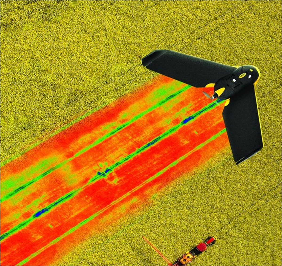
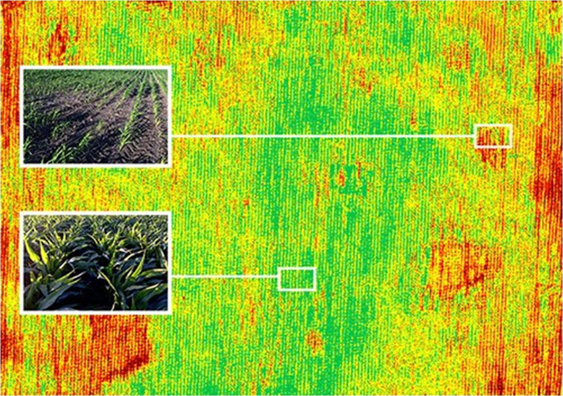
Drones equipped with advanced sensors and cameras can capture high-resolution images of the soil surface. This allows for detailed analysis, enabling farmers to identify specific issues such as nutrient deficiencies, soil erosion, or pest infestations.
Cost-Effectiveness
While initial investment in drone technology may be required, the long-term cost savings can be significant. Efficient use of resources, targeted application of fertilizers, and optimized irrigation based on soil analysis can reduce overall operational costs.
Real-time Monitoring
Drones provide real-time data, allowing farmers to monitor changes in soil conditions over time. This timely information enables quick decision-making and the ability to respond promptly to emerging challenges.
Using Drones

Challenges
- Payload Capacity:Limited drone payload capacity constrains the use of advanced and heavier soil sensors, potentially compromising the depth and detail of soil analysis.
Vegetation Interference:
Dense vegetation can obstruct drone sensors, affecting the accuracy of soil measurements and limiting their ability to penetrate the canopy for comprehensive analysis.Georeferencing Accuracy:
Precise georeferencing is crucial for correlating soil data with specific locations. Achieving accurate georeferencing with drones can be challenging, impacting the reliability of soil analysis results.Integration Complexity:
Integrating drone-derived soil data into existing farm management systems may be complex, requiring compatible software and infrastructure for seamless incorporation into decision-making processes.- Regulatory Constraints:Strict regulations governing drone usage, airspace restrictions, and privacy concerns can impede the widespread adoption of drone-based soil analysis, limiting its potential benefits for farmers.
How It Works
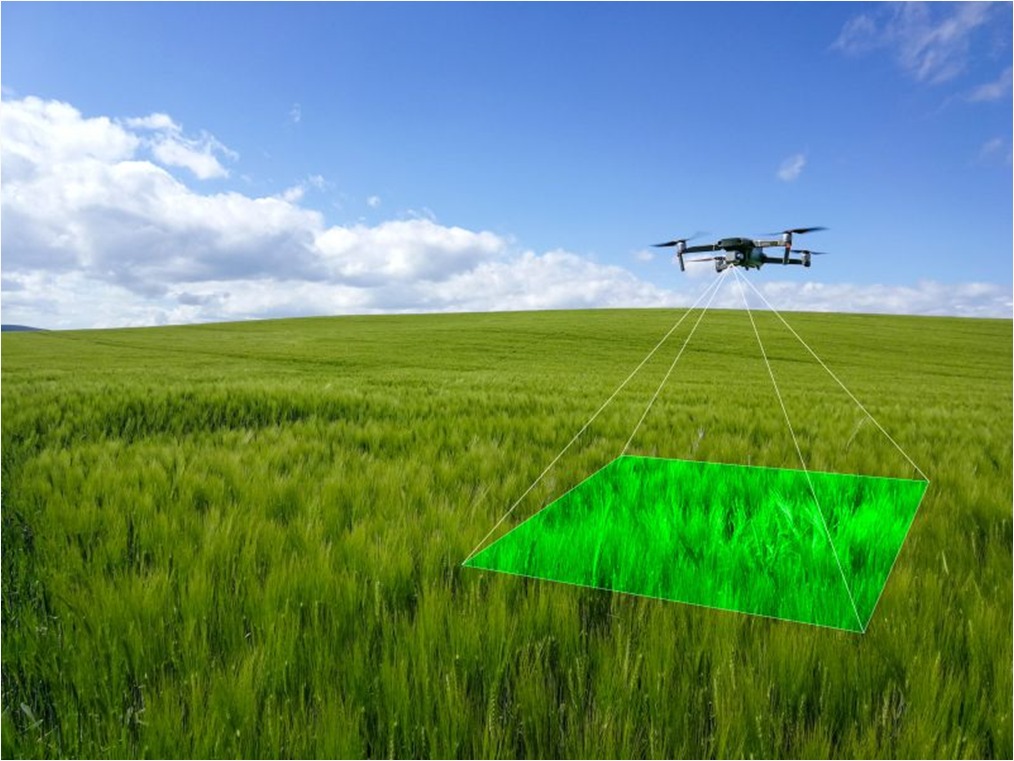
Mission Planning:
Define the area for soil analysis and plan the drone flight path, considering factors like terrain, vegetation, and required data resolution.Drone Deployment:
Launch a drone equipped with soil sensors, which may include devices measuring parameters like nutrient levels, moisture content, and soil composition.Data Collection:
The drone flies over the designated area, capturing soil-related data using its onboard sensors. These sensors may employ various technologies, such as spectrometry or electromagnetic induction, to assess soil properties.Real-time Monitoring (Optional): Some advanced drones allow real-time monitoring, providing immediate insights into soil conditions during the flight. This can be especially useful for time-sensitive decision-making.
- Interpretation: Agronomists and farmers interpret the soil analysis results, identifying areas with nutrient deficiencies, moisture stress, or other soil-related issues.
Explore More Content
Soil analysis using drones revolutionizes traditional agricultural practices by employing cutting-edge technology to assess and optimize soil conditions. This innovative approach involves several key steps, from mission planning to actionable recommendations
drone, mission planning is crucial. Farmers or agronomists define the area to be surveyed, considering factors such as crop type, topography, and historical yield data. The drone’s flight path is carefully planned to ensure comprehensive coverage of the designated area.
Drone mission planning is crucial. Farmers or agronomists define the area to be surveyed, considering factors such as crop type, topography, and historical yield data. The drone’s flight path is carefully planned to ensure comprehensive coverage of the designated area.

Soil analysis using drones represents a transformative shift in agriculture, providing farmers with precise, real-time information to make informed decisions, optimize resource allocation, and enhance overall productivity.