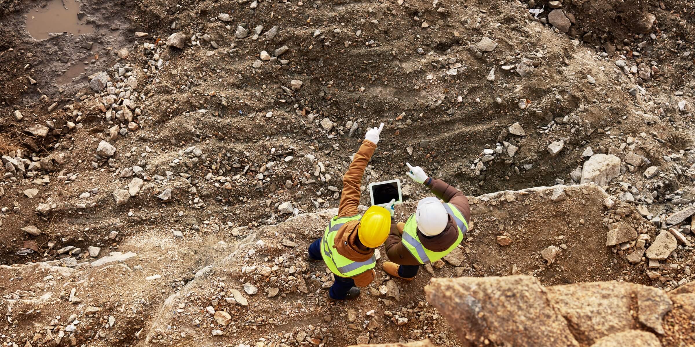
Exploration and Construction Management
Using drones for crop mapping involves capturing aerial data to assess and monitor the health and growth of crops, aiding farmers in informed decision-making for better agricultural management.
Benefits Of Exploration and Construction Management
Cost-Effective Surveys
Drones can conduct aerial surveys and exploration at a lower cost compared to traditional methods. They eliminate the need for expensive manned flights or ground-based survey teams.
Rapid Data Collection
Drones enable rapid data acquisition over large and often remote areas. This speed is crucial for time-sensitive exploration projects.
Project Planning and Design
Drones assist in creating 3D models and maps, aiding in project planning and design. This helps stakeholders visualize the construction process and make informed decisions.
Using Drones

Challenges
- Regulatory Compliance: Adhering to aviation regulations and obtaining necessary permits can be challenging. Different countries and regions may have varying rules regarding drone usage, which adds complexity to the legal landscape.
- Safety Concerns: Safety is a critical concern, especially in construction sites and exploration areas. Drones can pose risks to people and property if not operated carefully. Ensuring the safety of both the drone operators and the surrounding environment is crucial.
- Limited Flight Time: Most drones have a limited flight time due to battery constraints. This can be a challenge for large construction projects or extensive exploration areas that require continuous monitoring or data collection over an extended period.
- Weather Dependency: Drones are sensitive to weather conditions such as strong winds, rain, and low visibility. Unfavorable weather can disrupt operations, delay schedules, and pose risks to the drone’s stability and navigation.
- Payload Capacity: The payload capacity of drones is often limited. This can be a challenge when carrying specialized sensors or equipment needed for exploration or construction tasks, especially when larger or more advanced tools are required..
- Data Processing and Analysis: Collecting data using drones is only part of the process. Managing and analyzing the large datasets generated during exploration or construction projects can be challenging. Efficient data processing and analysis tools are required to derive meaningful insights.
How Works
- Surveying and Mapping: Dronesequipped with high-resolution cameras or LiDAR sensors can be used for aerial surveying and mapping. This data is crucial for understanding the topography, vegetation, and other features of an exploration area.
- Mineral Exploration: LDrones equipped with specialized sensors, such as magnetometers or hyperspectral cameras, can assist in mineral exploration by identifying potential resource-rich areas based on variations in the Earth’s magnetic field or spectral signatures.
- Real-time Monitoring: Monitor the drone’s flight in real-time to ensure it follows the planned trajectory. Address any issues or adjust the flight path if necessary.
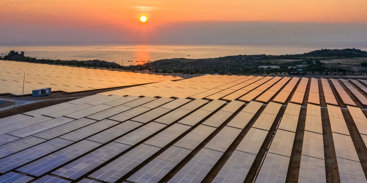
- Environmental Monitoring: Drones can monitor environmental conditions in exploration areas, helping to assess the impact of exploration activities on ecosystems. This includes tracking vegetation health, soil erosion, and water quality.
- Communication and Collaboration: Drones facilitate better communication among construction teams by providing a visual overview of the site. This can improve collaboration among architects, engineers, and contractors.
Explore More Content

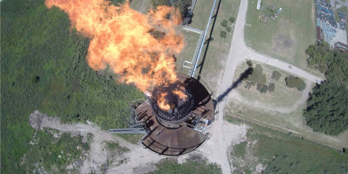
In exploration activities related to natural resource extraction, such as mining or oil and gas exploration, drones contribute to resource assessment and inventory management. By conducting aerial surveys, drones help quantify the availability of resources, estimate reserves, and plan extraction processes.
During the construction phase, drones aid in progress monitoring and quality control. Equipped with cameras and sensors, drones can capture real-time imagery of construction activities, allowing project managers to assess work completion, adherence to specifications, and overall project timelines.
While the benefits of using drones in exploration and construction management are substantial, addressing challenges such as regulatory compliance, data security, and the integration of drone-derived data into existing workflows is essential. Achieving a seamless integration of drone technology into exploration and construction processes requires careful planning and adherence to industry standards.
The synergy between exploration and construction management is enhanced by the integration of drone technology. From initial surveys and resource assessments to efficient construction monitoring, drones contribute to the success of infrastructure projects by providing accurate, timely, and actionable data. As technological advancements continue, the role of drones in exploration